18 – 19 July 2016
In the words that Charles Kuralt made famous, we have spent the last several days “traveling the highways and byways” of rural Ohio, Tennessee and Kentucky. We must have driven over 400 miles of winding, narrow roads in the three states.
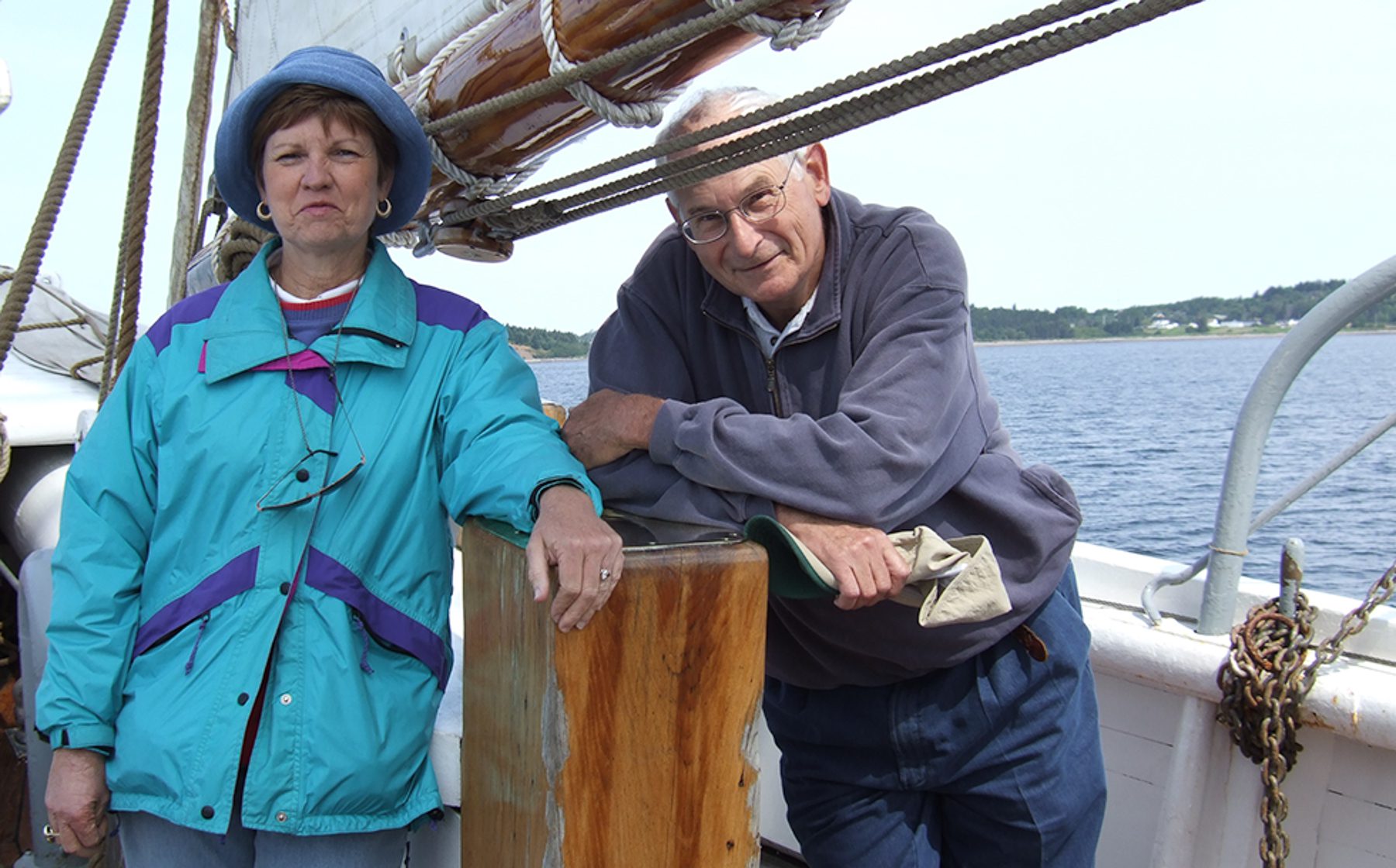
Our first scheduled stop was The Woolery. Guess who wanted this stop? Unfortunately, it turned out to be a “water haul”. Seems they were in the midst of a 3 day process of moving the entire store to a new location. Virtually nothing was available for MB to massage, fondle and stroke! She hasn’t recovered yet!
Before we proceed…Our first quiz. What is the Capital of Kentucky? No googling, etc. Click here when you are ready for the answer.
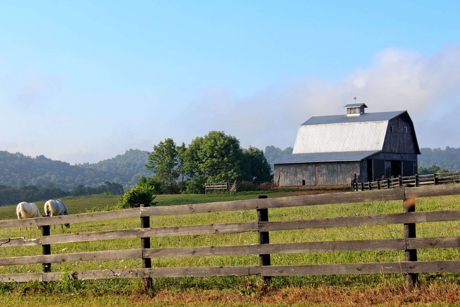
There are plenty of old, gorgeous barns in this area, most surrounded by magnificent fields of corn. Obtaining photographs was challenging because stopping on these narrow roads was potentially hazardous. However, here are a representative few.


While the south central area of Ohio is supposed to have a significant Amish presence, we found few like we encountered on previous trips to the eastern Ohio. However, Meriam did direct us to Keim’s Market, run by an Amish family. Our primary reason for going there was to obtain some of their famous donuts! Afraid we would arrive too late in the day for their morning baking, Meriam call and reserved us 6 of their chocolate “cream sticks” and four glazed donuts – a major mistake. Seems when we arrived the 10 items must have weighed over 20 lbs – more or less! We paired the order down to 4 cream sticks and two donuts.
And my choice is to never pass up fresh dairy Swiss Cheese!

Hopewell Culture National Historical Park
While our pictorial presentation of this recent National Park (1993) is limited to just one rather bland photograph, don’t let this dissuade one from learning more about the Hopewell Culture. The Hopewell Indians (ancestors to more “modern” American Indians) lived along the Scioto River in south central Ohio between 2,200 and 1,500 years ago. These rather dispersed Indians (they did not live in villages, only in groups of 2-3 huts) built enormous earthen mounds covering vast areas. Mound City (the site we visited) is just one of a number of similar sites, often separated by more than 60 miles. Each site is virtually a carbon copy of the other. Each site contains one very large circle, one smaller circle and one square. Inside each of these geometric features were many mounds of various size and shape. The earthen mounds and shapes were often more than 18 feet tall. Some of the smaller squares enclosed more than 27 acres! All of these structures were, of course, built by hand. One of the larger structures is estimated to require over 1.5 million baskets of soil!
To put this a little more in perspective, the Mound City Group covers over 120 acres. Hopewell Mound Group covers 316 acres, Seip Earthworks covers 168 acres, Hopeton Earthworks covers 292 acres and High Bank Works covers 190 acres.
It should be noted that none of these structures were living spaces. Archeologists believe they are all used from ceremonial purposes, such as burial, religious rites and astronomical observations.
Archeologists have shown that the Hopewell Culture influence extended from the Eastern Seaboard to the Rocky Mountains, to Canada and the Gulf Coast. Artifacts, minerals (copper, quartz and mica), sea shells, etc. from these dispersed areas are found in the mounds.
Handcrafted tools, ornaments, pottery, effigies, etc. show the Hopewell Culture to be artistic and talented.
But most astounding to us is to see the architectural remains created by a dispersed culture, coming together as a group, creating these dirt structures – during the same time the Parthenon was being built at Acropolis in Athens and the Mayans were building temples in Mexico.
