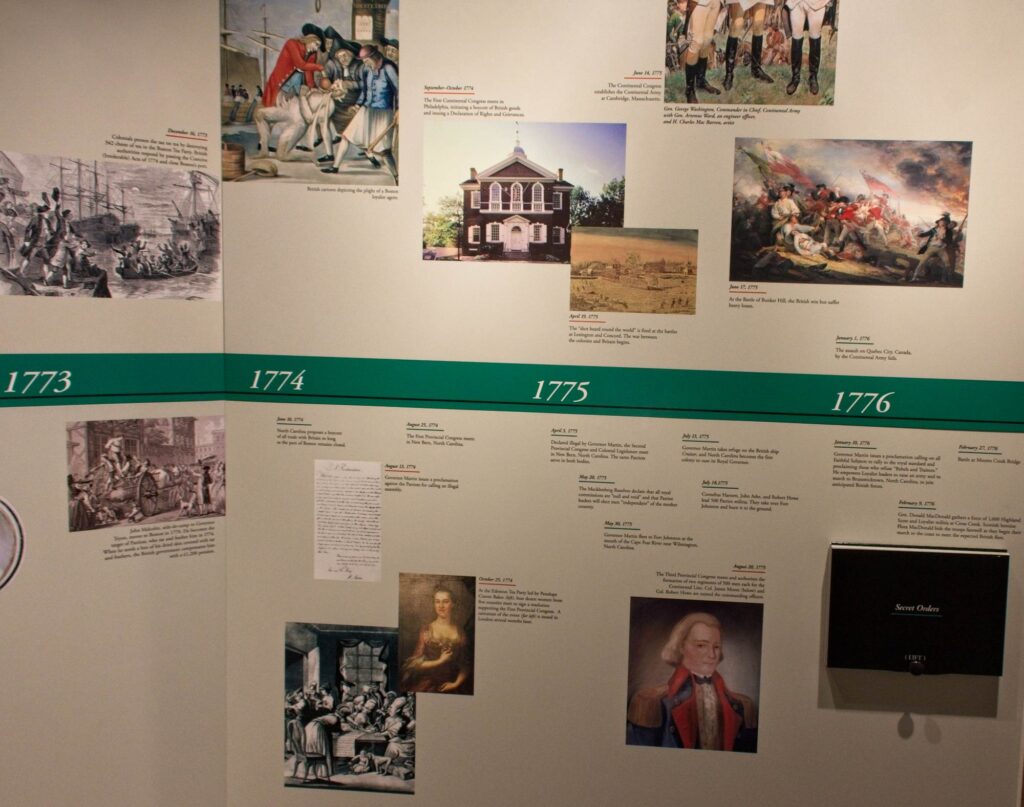
(Time sequence of actual events)
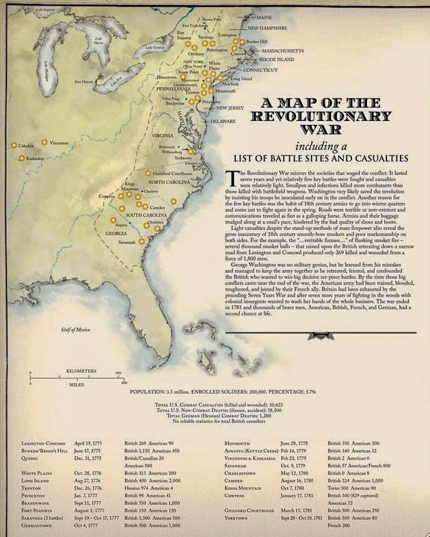
As we mentioned at the beginning of this sojourn, we planned the trip around visiting several battlefields associated with the Southern Campaign of the American Revolution, before and after the signing of the Declaration of Independence on July 4, 1776.
For clarity purposes, we are listing our published postings as well as postings to come. Our postings so far have not necessarily been in the time sequence of the actual events, such as Fort Loudoun and Fort Dobbs due to our route.
Note: Some postings (both published and yet to be published) are not part of this sequence as they do not directly relate to the conflict surrounding the American Revolution. Here is the sequence as we have reconstructed it:
- Fort Dobbs c. 1754 (published)
- Fort Loudoun and Sequoyah c. 1756 (published)
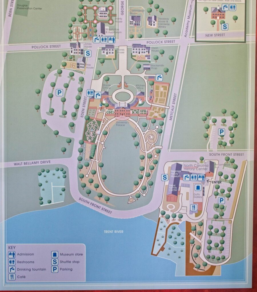
- Tryon Palace c. 1767 (to be published)
- Edenton Tea Party c. 1774 (to be published)
- Moores Creek Battlefield, February 27, 1776 (to be published)
- Sycamore Shoals – Siege of Watauga, June 1776 (to be published)
- Sycamore Shoals Battlefield, September 25, 1780 (to be published)
- Kings Mountain Battlefield, October 7, 1780 (to be published)
- Guilford Court House Battlefield, March 15, 1781 (to be published)
There are relatively few “interesting” photographs one can take of a battlefield, particularly those over 250 years old. However, the history associated with these battles is voluminous, varied, and detailed. Thus, relatively speaking, there are fewer photographs and more history associated with these posts.
Our first posting in the sequence combines Tryon Palace, Edenton Tea Party, and Moores Creek Battlefield. Hopefully, you will enjoy them.
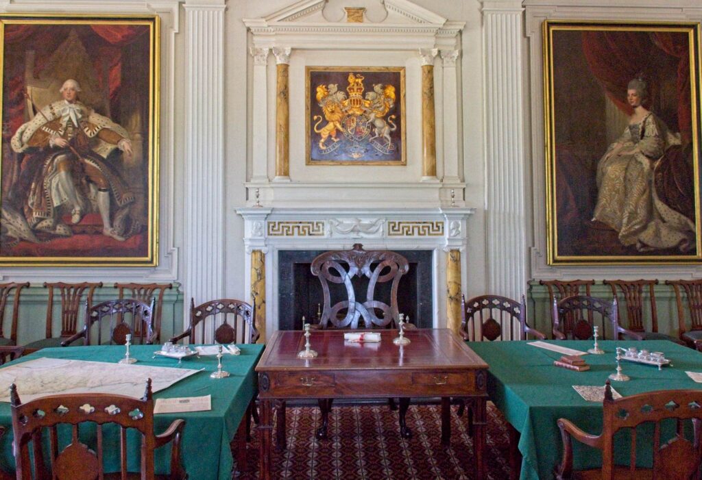
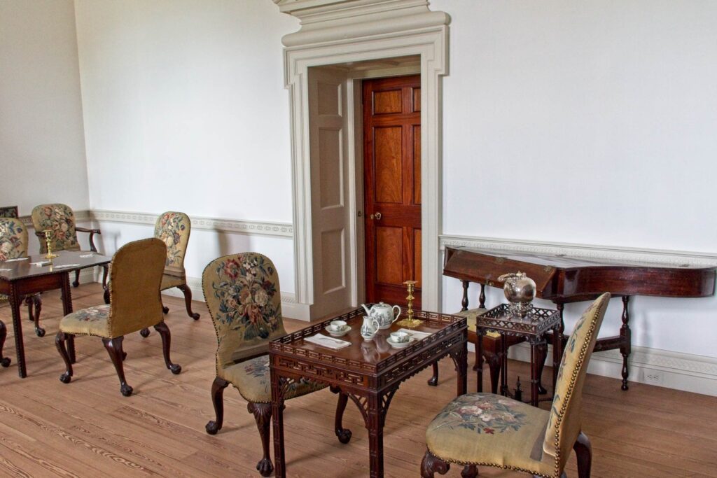
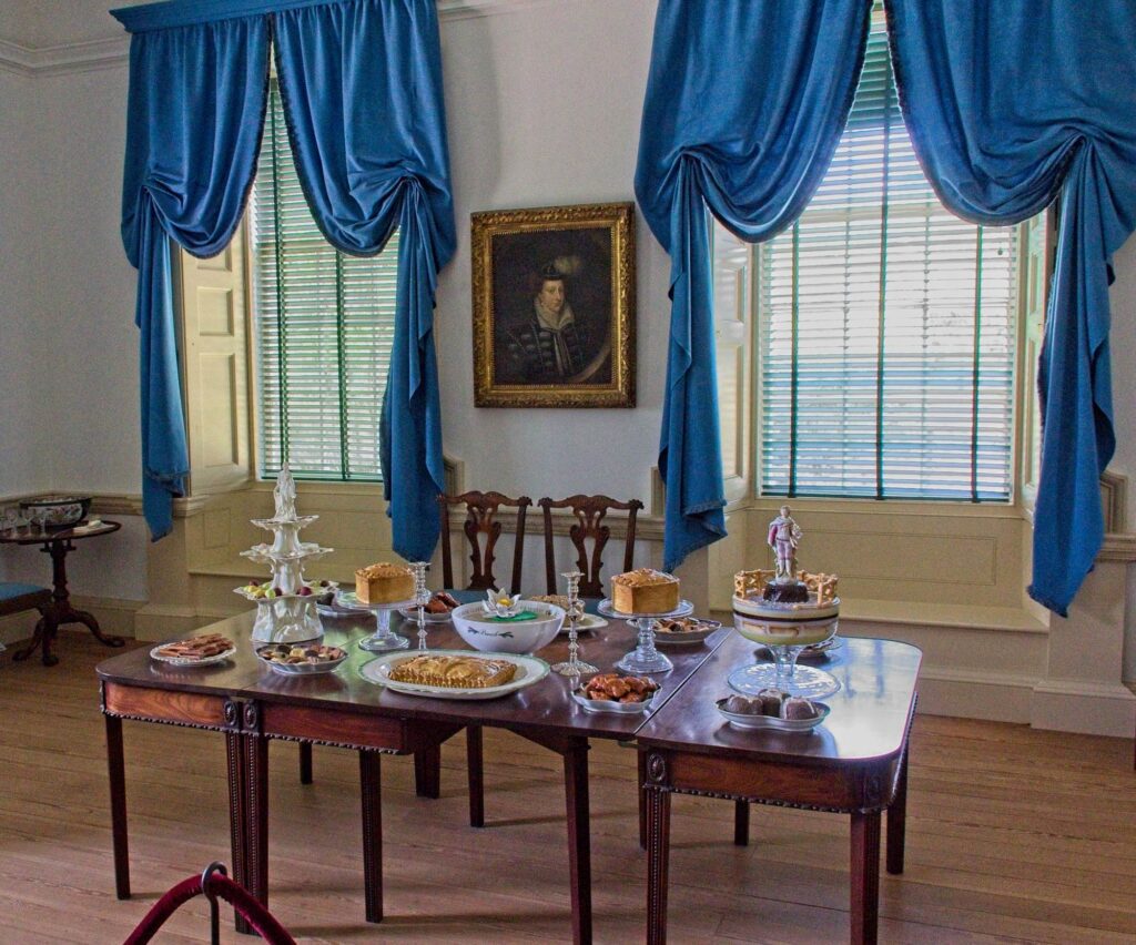
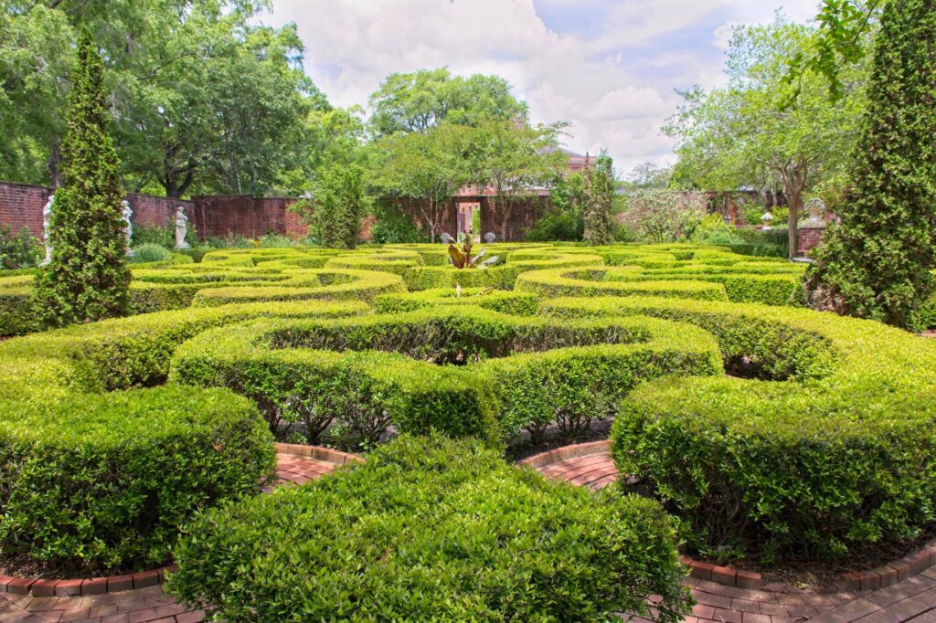
Tryon Palace
Tryon Palace was named after William Tryon a British officer and colonial official who served as the Governor of North Carolina from 1765 to 1771. Tryon had seen the need for a centrally-located Government House while lieutenant governor. After assuming office Governor Tryon worked with architect John Hawks to draw up plans for a government house similar to other British colonial structures of the time.
In May 1775, when the American Revolutionary War began, Governor Josiah Martin fled the mansion. Rebels seized the Palace and retained it as their seat of government. The new state’s first general assemblies were held there and many of the furnishings were auctioned off to fund its administration.


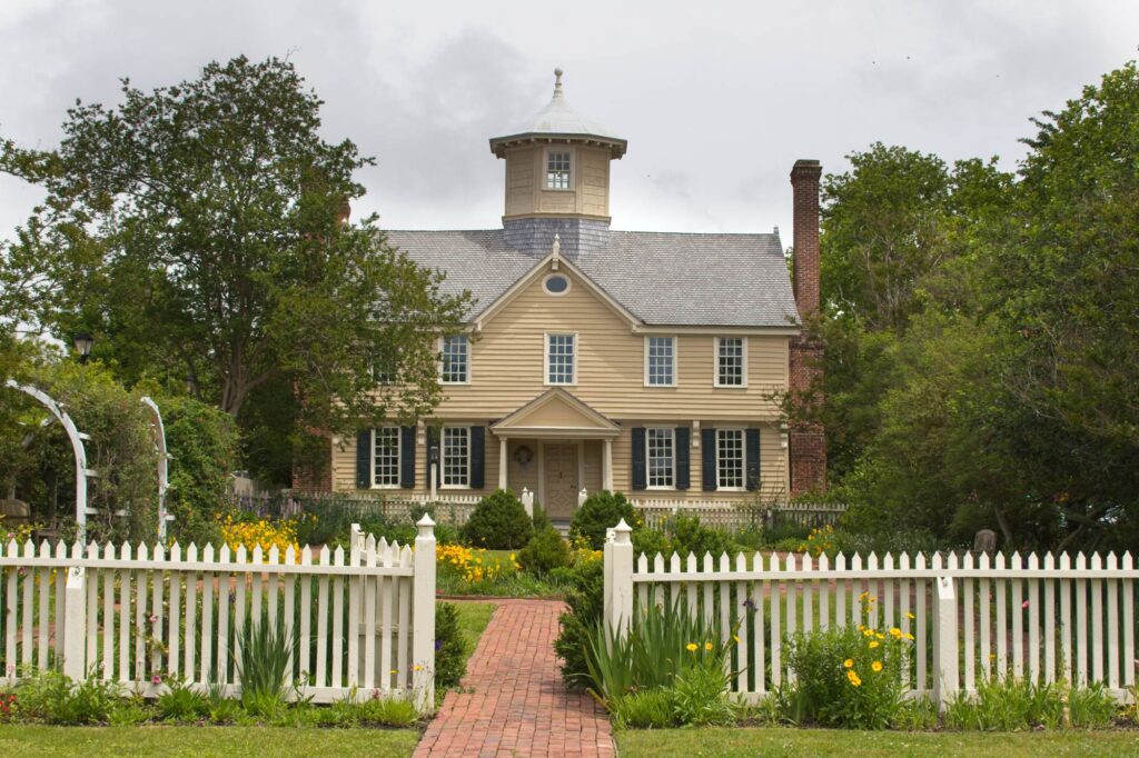
Edenton
Edenton was the South’s first Colonial capital and has been described as the prettiest small town in the South. Edenton has played a key role in North Carolina history throughout the years. It was North Carolina’s colonial capital until the year 1743, making it the center of culture and economy for years.
Part of Edenton’s significance to us began when Meriam read its significance in an article about the city in the DAR’s American Spirit Magazine. It is certainly a most charming small town with a population of approximately 2,000. Note: We did not take a lot of photographs of many historical structures in Edenton (such as the oldest house in North Carolina) as we toured the town on a trolley…it was difficult to photograph from the trolley. BTW, this was the BEST such tour we have yet experienced.


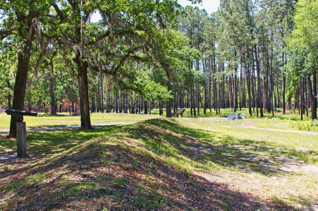
Moores Creek Battlefield
A bit of history leading up to the Moores Creek Bridge battle. Up until this time British overall commander in America, General Howe, and his two top subordinates, General Clinton and General Cornwallis had been roundly defeating American General George Washington in the North. Hoping to finish the war, General Howe sends Cornwallis to subdue the southern colonies, completing the British subjugation of the American colonies. Believing many colonists in North and South Carolina will support the British Crown, Cornwallis foresees easy victories.
The battle at Moores Creek Bridge was fought on February 27, 1776, between loyalists supporting the British Crown and patriots of North Carolina. Many of the loyalists were immigrants from the Highlands of Scotland. This brief, but important, the battle effectively ended royal authority in the North Carolina colony and stalled a full-scale British invasion of the South. The patriot victory emboldened North Carolina, on April 12, 1776, to instruct its delegation to the Continental Congress in Philadelphia to vote for independence from Britain, thus becoming the first colony to do so.
As a side note, Moores Creek Bridge battle was the last Scottish Broadsword attack in the world.


mao.So much history. So little time!
HaroldTrue, true, true…
Peter WalshNice history lesson.
HaroldThanks, PJ. It’s taking some time of “stitch” these posts into a somewhat reasonable (and hopefully not too confusng) story.
Ginny JonesThis could be my favorite posting. First of all I had no idea of the battles in the South. Secondly, the Tryon mansion is one of the most beautiful I have seen yet. AND it was built in the 1950s!
HaroldGinny, we are most pleased you enjoyed the post. It was definitely one of our favorites.
Marsha A Joneslove the photos
HaroldThanks, Marsha. A well-received comment from a fellow photographer!